Uttar Pradesh is surrounded by Bihar in the East, Madhya Pradesh in the South, Rajasthan, Delhi, Himachal Pradesh and Haryana in the west and Uttaranchal in the north and Nepal touch the northern borders of Uttar Pradesh, it assumes strategic importance for Indian defence.
In sheer magnitude, it is half of the area of France, three times of Portugal, four times of Ireland, seven times of Switzerland, ten times of Belgium and a little bigger than England.
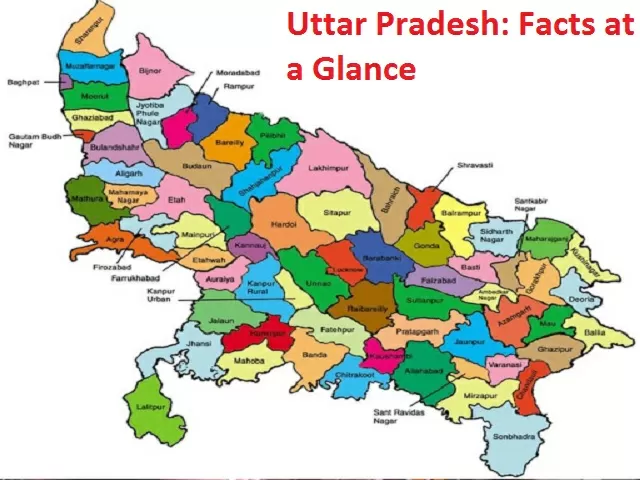
Facts related to Economy, dances, festivals population and Lok Sabha seats of about Uttar Pradesh
| Area | 236,286 sq.km |
| Population | 199,581,477 (2011 census), 23.5 cr in 2020 |
| Language | Hindi, Urdu, English |
| Climate | Summer - March to June (Max. Temp. 450C ) |
| Capital | Lucknow |
| Members of Lok Sabha | 80 |
| Legislature | Bicameral (MLA:-403, MLC:-100) |
| Airports | Agra, Allahabad, Gorakhpur, Kanpur, Lucknow, Varanasi |
| Major Cities | Agra, Allahabad, Aligarh, Gorakhpur, Kanpur, Lucknow, Moradabad, Meerut, Varanasi |
| Festivals | Holi, Diwali, Rakshabandhan, Eid, Kumbh Mela, Budh Purnima, Mahashiva Ratri, |
| Economy Size | ₹8.63 lakh crore (US$130 billion), Agriculture based |
| Literacy | 69.72% |
| Districts | 75 |
| Sex Ratio (as per 2011 census) | 908 per thousand |
| Principal Folk Dances | Charkula, Karma, Pandav, Pai-danda, Tharu, Dhobia, Raai, Shaira etc. |
| Principal Crops | Paddy, Wheat, Barley, Millet, Maize, Urad (Black Gram), Moong (Green Gram) Arhar etc. |
| Rivers | Ganga, Yamuna, Gomti, Gandak, Sarayu, Ramganga and Ghaghra |
| Principal Minerals | Lime-Stone, Dolomite, Soap Stone, Gypsum, Bauxite, Glass-sand, manganese, Non-plastic fire clay etc. |
| Tourist & Historical Places | Piparhava, Kaushambi, Shravasti, Sarnath,Varanasi,Kushinagar, Chitrakoot, Lucknow, Agra, Jhansi, Meerut etc. |
| Forts | Agra fort, AligarhFort, Allahabad Fort, Chunar Fort, Fatehpur Sikri, Hathras Fort, Jhansi Fort, Kalinjar Fort, Ramnagar Fort |
Uttar Pradesh is the fourth largest State of India in terms of area. Its area of 2,36,286 km2 lies between latitude 24 deg to 31 deg and longitude 77 deg to 84 deg East.
Uttar Pradesh (UP) is also the most populous state of India. Its population is around 23.5 crores in 2020. The size of the State Domestic Product (GSDP) of Uttar Pradesh was US$ 226 billion in 2018-19. Uttar Pradesh is the largest producer of food grains in India and accounted for about 17.83% share in the country’s total food grain output.
Top 10 Largest States of India in Terms of Area
Telangana at a Glance: Formation, Capital, Districts, and Economy


Comments
All Comments (0)
Join the conversation